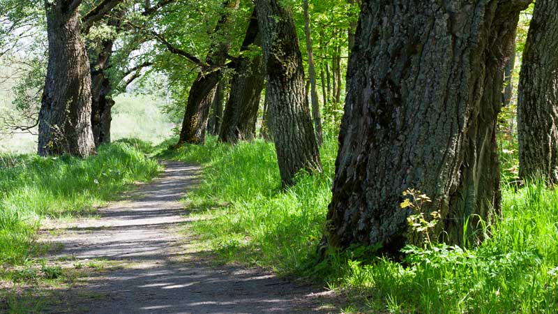
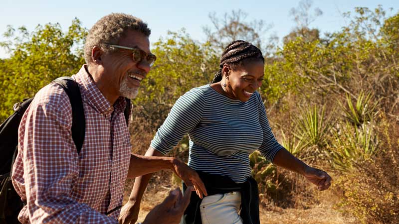
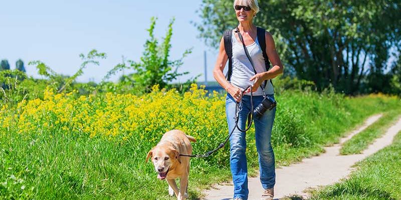
We are fortunate to have so many nice walking trails here in the Kansas City area. Now that the weather is starting to cooperate try to take some time to go out and revisit a favorite trail or if you are feeling adventurous try a new trail. You only need a few simple things before you get started. First a good pair of walking shoes is a must! Next, be sure to take plenty of water, especially as the weather turns warmer. Add in some good stretches before and after your hike. And lastly some healthy snacks to keep you energized during those long hikes or for recovery after your walk (Recipes at the bottom). Let’s get started with some stretching.

This standing calf (gastroc) stretch can be easily done at the side of your vehicle or using any landmark to place your hands against. You will gently shift your weight forward keeping your knee straight in order to get a stretch in the calf. You can also shorten your stride length and slightly bend the knee to also get a stretch in the smaller portion of your calf (soleus). Hold the stretch for 20-30 seconds and repeat 3 times on each side.

This standing hamstring stretch can also be done by your vehicle or any landmark if you need something to steady yourself for balance. Place your heel on the ground and pull your toes toward you. Tighten your abdominal muscles to stabilize your back and bend at the waist keeping your back straight. Hold 20-30 seconds and repeat 3 times on each side.

If you are looking at this stretch thinking there is no way I can get my leg behind me like that I have another option for you. This is a great quad stretch that can also be combined with a hip flexor stretch. To get both the quads and hip flexors try to keep your abdominal muscles engaged and keep your back flat (do not increase the arch in your lower back). The variation of this stretch if you are unable to bend your knee that far behind you would be similar to the standing calf stretch above. To get more of the quads and hip flexors, lengthen your stride about an inch while standing up straight and continuing to keep in mind to engage your abdominals and maintain a flat back. Next, allow the knee that is to the back to have a slight bend and you should feel this stretch in the front of the upper leg. Hold the stretch for 20-30 seconds and repeat 3 times on each side.
Northeast Area

Watkins Mill State Park:
Distance: 4.5 miles Rating: Easy Time: 2 hours
This is an asphalt hiking and biking trail located in Kearney, MO at Watkins Mill State Park. It is a circuit trail around a 100-acre lake. The path goes through woods and meadows and has a few moderate inclines.
Martha Lafite Thompson Nature Sanctuary:
Distance: 3.5 miles Rating: Easy Time: 1-2 hours
There are 4 different walking trails here at the nature sanctuary. Located in Liberty, MO. A couple of the trails are paved. Bikes and Pets are not allowed on the trails.
Little Blue Trace:
Distance: 15 miles One-Way Rating: Easy
There are several different trail heads located along this trail. Located in Independence, MO. This is a great, relatively flat trail that is ideal for walking, running, or cycling. Great for small children to enjoy as well.
Burr Oak Woods
Distance: 0.8 to 1.6 miles (each trail) Rating: Easy to Moderate Time: 0.5 to 1.5 hours (each trail)
Located in Blue Springs, MO. Variety of paved and non-paved trails. Paved trails are located behind the Conservation Welcome Center. Dogs are not allowed on the trails.
Southeast Area

Monkey Mountain Park and Nature Reserve
Distance: 2.5 to 3.5 miles Rating: Moderate to Difficult Time: 1.5 hours to 1.75 hours
Winter and Spring are good times to hike this trail. Located near Grain Valley, MO. Monkey mountain is a large wooded hill, the trail up the mountain covers meadows, woods, and limestone outcroppings. This is a good walking, hiking, birding, and horse trail.
Powel Gardens Byron Shutz Nature Trail
Distance: 3.25 miles (Loop) Rating: Moderate Time: 2 hours
Located in Kingsville, MO. There is an admission fee, however it is well worth it! The trail is not only beautiful but educational. You will get exposed to woodlands, wetlands, prairies, ridges and hilltops, ponds, and remnants of earlier inhabitants.
James A. Reed Wildlife Area
Distance: 3 miles (series of loops) Rating: Moderate Time: 1.5 hours
This is a multi-use park. Not only does it offer a few walking trails, there are also small game hunting, fishing, and horseback riding opportunities. Located in Lee’s Summit, MO. Checking with the administration building is recommended to see if it is hunting season before venturing out on the trails.
Southwest Area

Overland Park Arboretum
Distance: 5 Miles Rating: Easy to Moderate Time: 1 to 3 hours
The trail system is 5 miles of interconnecting trails that loop through the preserve, crossing bridges, circling ponds, and ascending bluffs. Most of the paths are wood chipped. This is a very well-marked trail in which one can enjoy walking without the fear of getting lost.
Shawnee Mission Park The Lake Trail
Distance: 6 miles Rating: Moderate Time: 2.5 hours
This trail passes through heavy woods, along rocky hillsides, and up some steep hills. Can be muddy in wet weather and rough in places in dry weather due to equestrian use.
North Shore Hiking Trail
Distance: 3 miles Rating: Moderate Time: 1 hour
This trail takes you through thick woods and is mostly used for mountain bikers, however hikers are welcome to enjoy it as well.
Shawnee Mission Park Trail
Distance: 1 mile Rating: Easy Time: 0.5 hour
( 646011820 Secondary F Left)This is a paved trail that traverses prairie and woodlands. The path leads from just south of the visitors center to the intersection of Barkley Circle and Fitch Memorial Drive near the lake.
Ernie Miller Park
Distance: 2 miles Rating: Moderate Time: 1 to 2 hours
Primarily a wood chipped path that turns into a dirt path. Located in Olathe, KS. There are woods, meadows, hillsides, a stream, and a nature center.
** All the information on the hiking trails is from the book Hiking Kansas City written by William B. Eddy and Richard O Ballentine**
** Visit the local parks and recs website or individual park website for further information and updates on the length of the trails and conditions**


